航空写真 ヨーロッパおよびロシア
Aerial Photograph - Europe and Russia
国 : ヨーロッパ各国、ロシア
地域 : ー
Nation : Europe, Russia
Place : -
![]() このページの写真は、Creative Commonsライセンスの下で、各種メディアの素材として完全無償で利用できます。詳しくはこのページの下のリンクを参照。
このページの写真は、Creative Commonsライセンスの下で、各種メディアの素材として完全無償で利用できます。詳しくはこのページの下のリンクを参照。
|
オランダ Netherlands |
|||
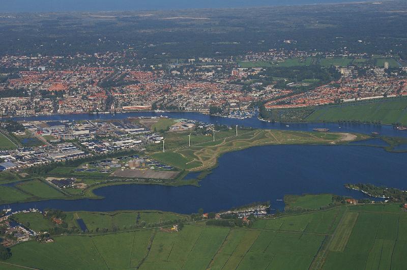 |
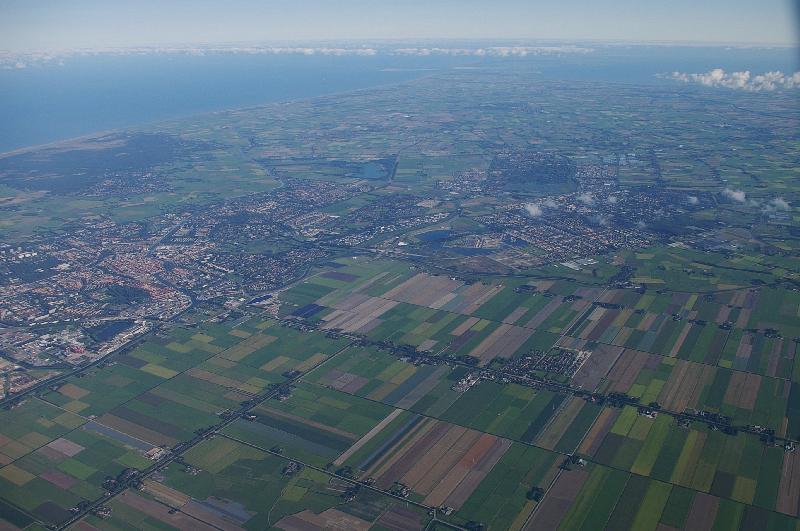
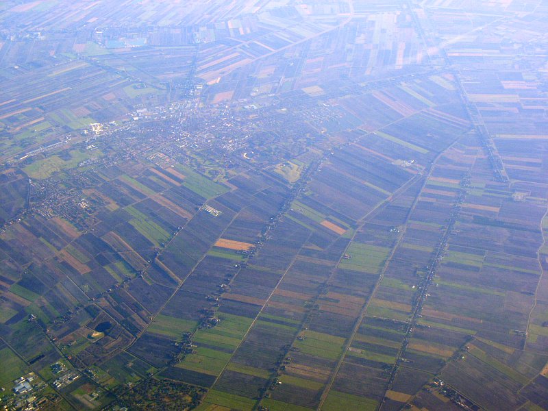
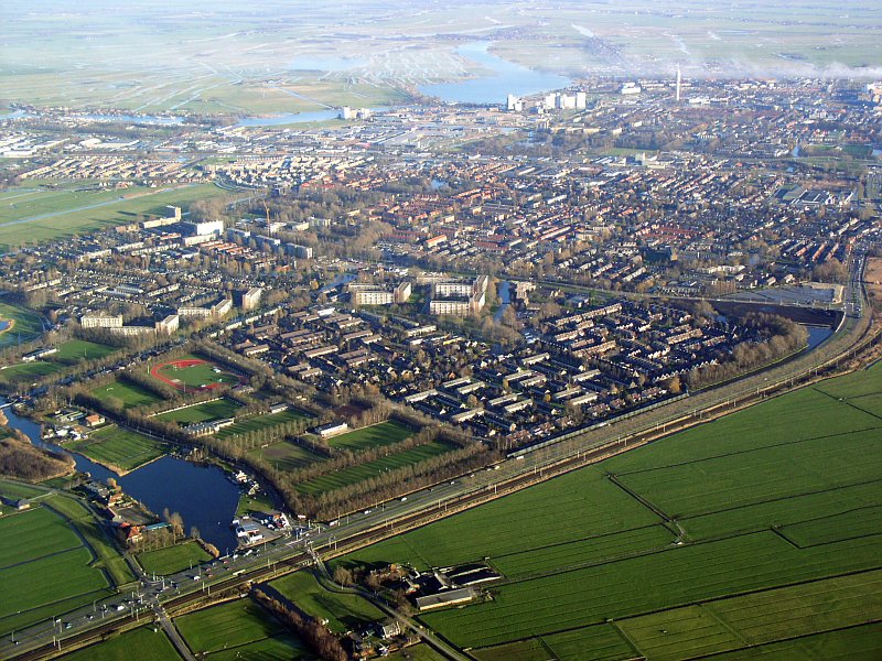
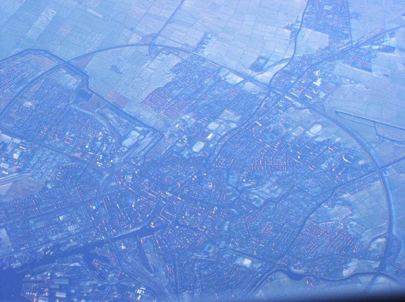
ハールレム北東部、北ホラント州 Waarder-en Veerpolder, (north east part of Haarlem), Noord-Holland |
||
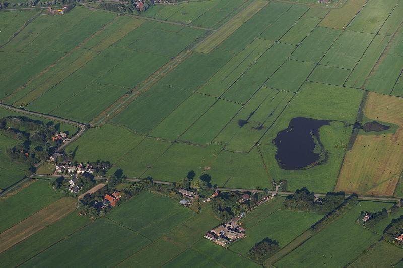 |
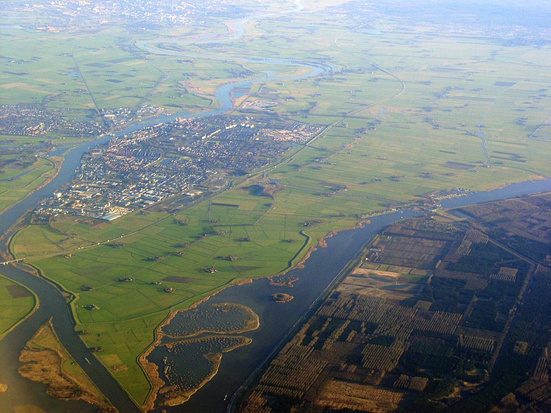
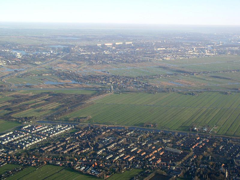
ハールレム東部、北ホラント州 Spaarnwoude, east of Haarlem, Noord-Holland |
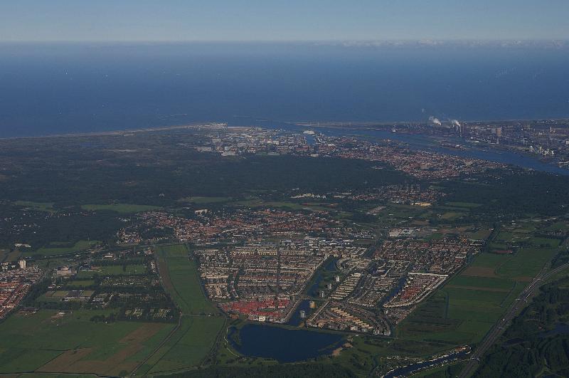 |
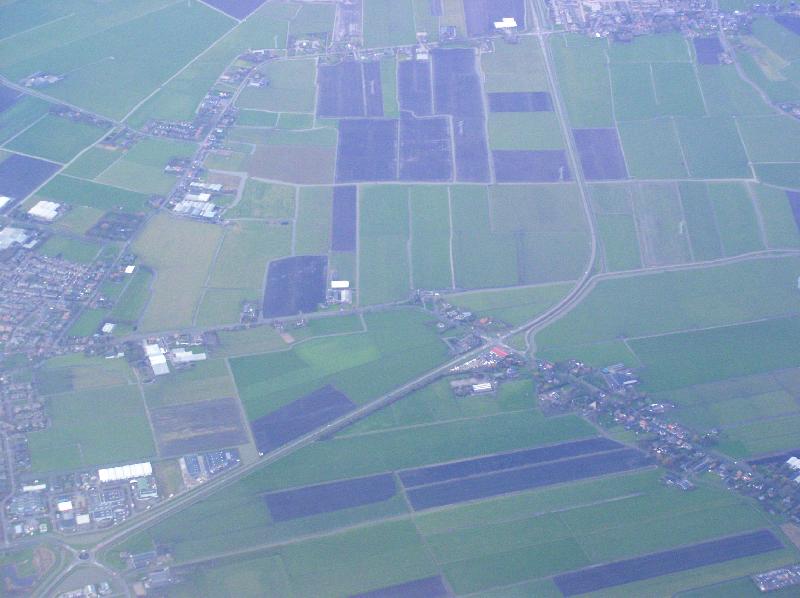
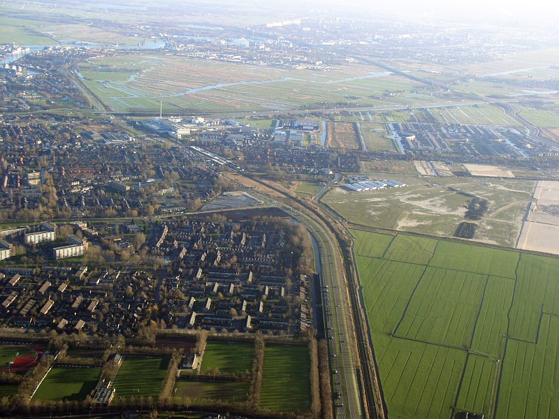
Velserbroek, Noord-Holland |
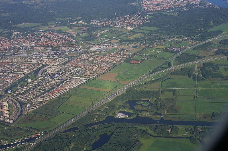 |
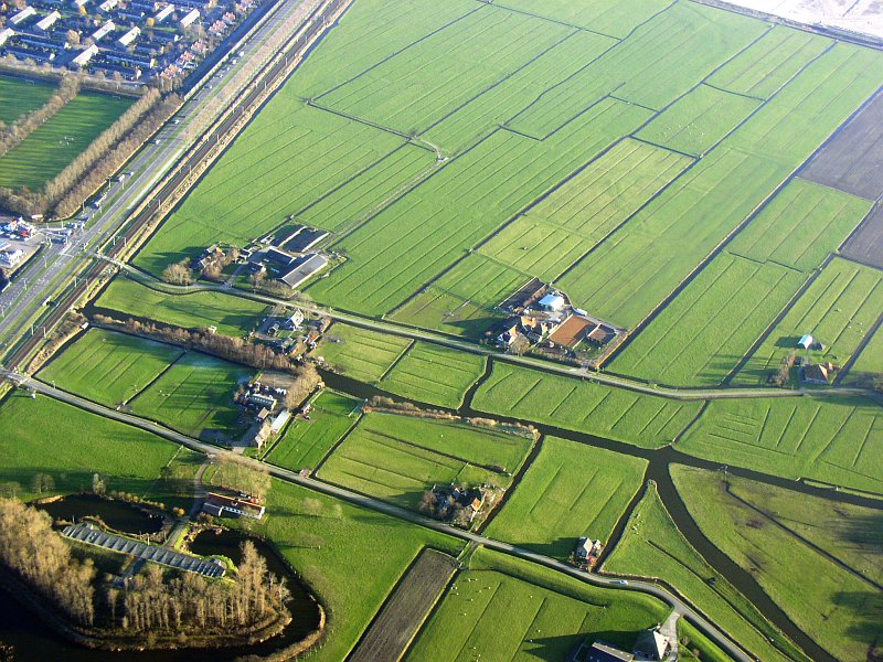
Velserbroek and A22 road, Noord-Holland | 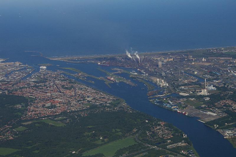 |
北海運河とアイムイデン、北ホラント州 Noordsekanal and Ijmuiden, Noord-Holland |
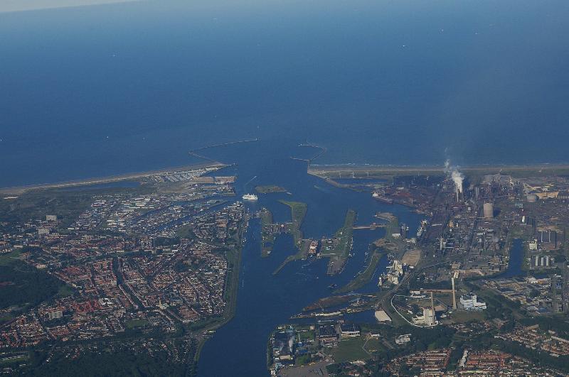 |
北海運河とアイムイデン、北ホラント州 Noordsekanal and Ijmuiden, Noord-Holland |
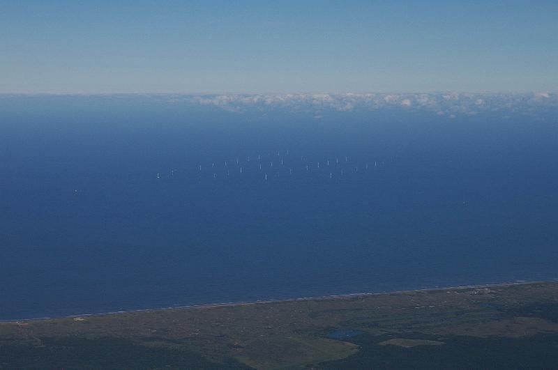 |
北海の中に建つ発電用風車 wind turbine in the Noordsee |
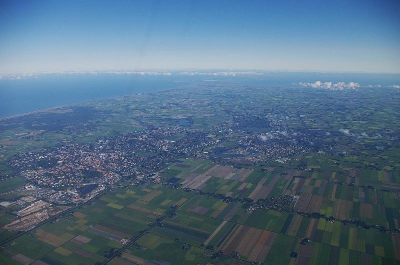 |
アルクマール (画面左側の街)、北ホラント州 Alkmaar, Noord-Holland |
 |
アルクマール (画面左側の街)、北ホラント州 Alkmaar, Noord-Holland |
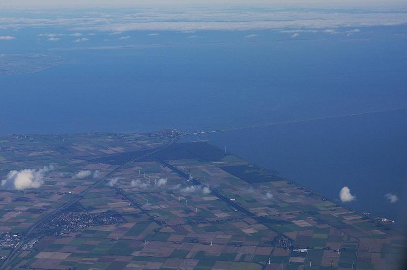 |
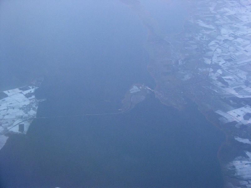
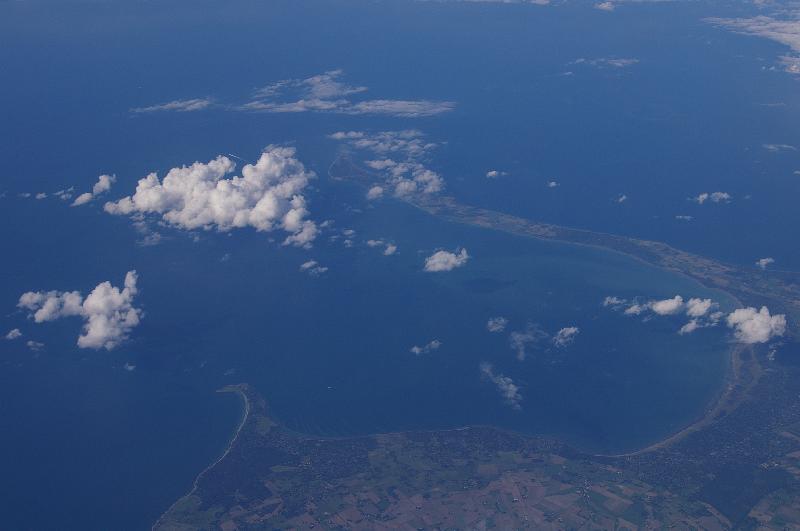
大堤防、南西側 south west edge of Afsluitdijk |
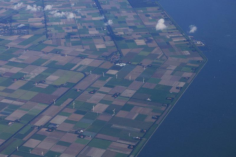 |
農場地帯の中に建つ風車、大堤防の付け根近く wind turbine in the farm yard, neat Afsluitdijk |
 |
大堤防、南西側 south west edge of Afsluitdijk |
||
 |
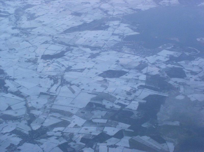
アヴェンホルン、北ホラント州 Avenhorn, Noord-Holland |
 |
アヴェンホルン、北ホラント州 Avenhorn, Noord-Holland |
 |
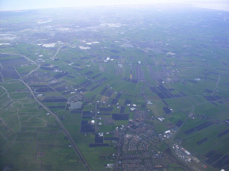
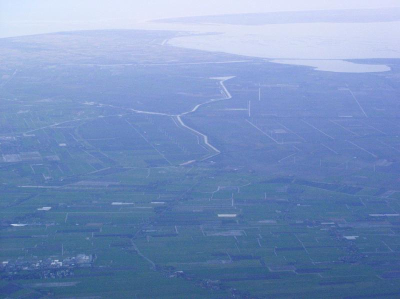
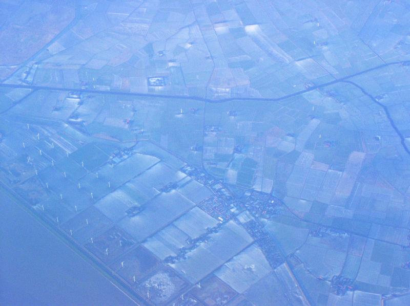
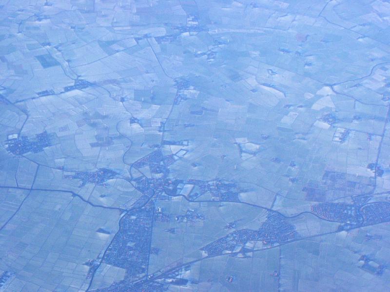
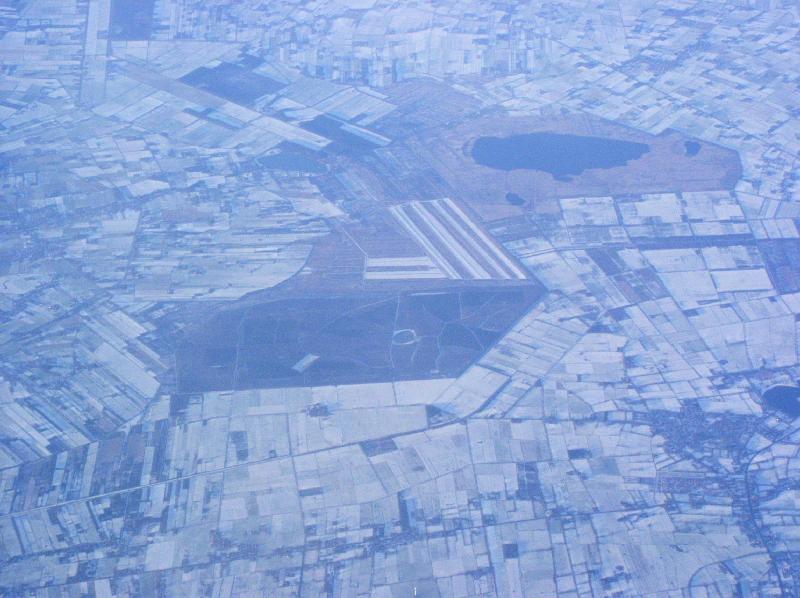
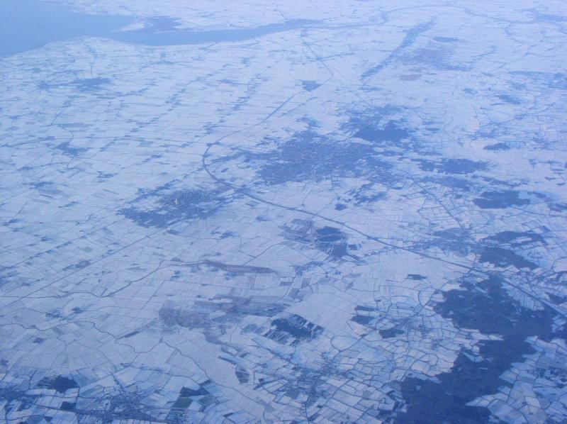
ウォフメア(湖の干拓地)とスピアダイク、北ホラント州 Wogmeer and Spierdijk, west of Hoorn, Noord-Holland |
 |
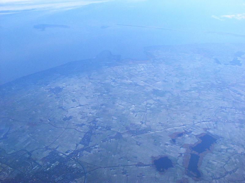
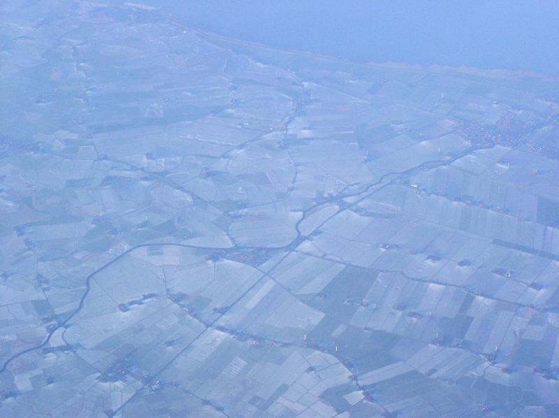
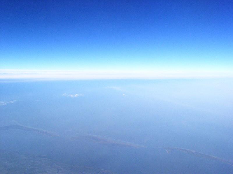
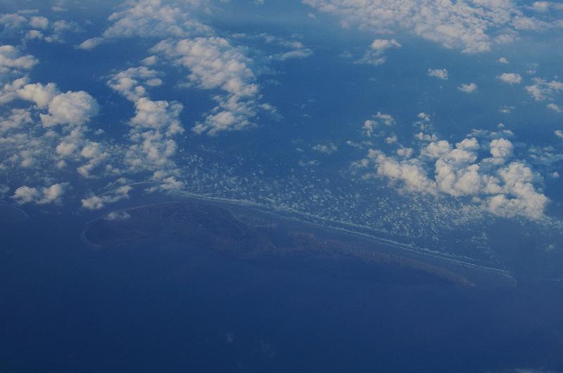
半島と、その先に見えるテクセル島、北ホラント州 peninsula and Texel island, Noord-Holland |
 |
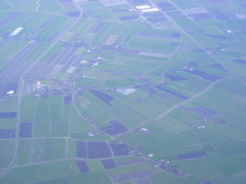
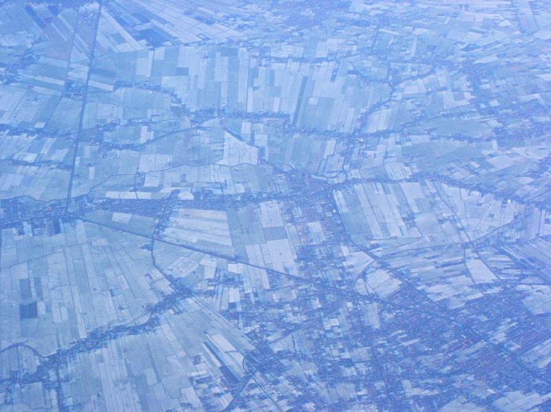
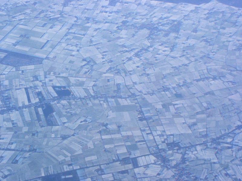
ヴォフヌム、北ホラント州 Wognum, north of Hoorn, Noord-Holland |
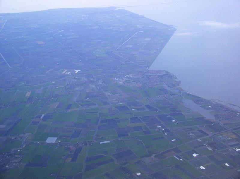 |
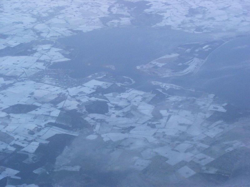
メーデンブリック付近、北ホラント州 Medemblik, Noord-Holland |
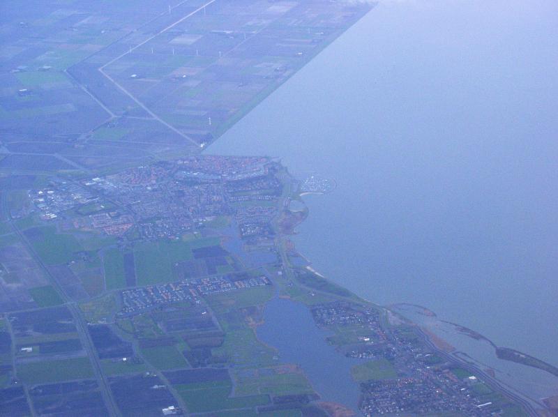 |
メーデンブリック、北ホラント州 Medemblik, Noord-Holland |
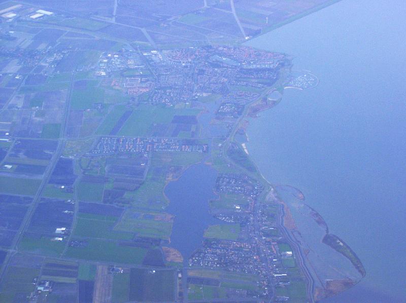 |
メーデンブリック、北ホラント州 Medemblik and Onderdijk, Noord-Holland |
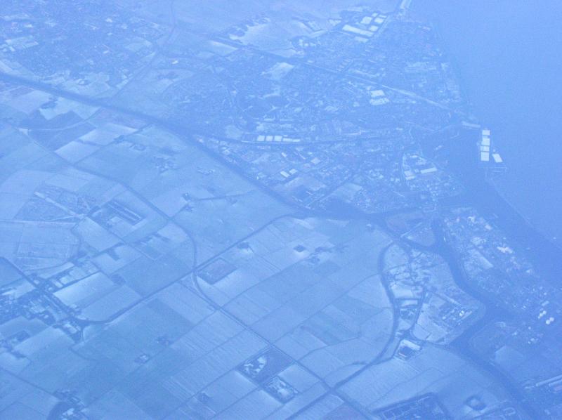 |
うっすらと雪が積もっているデルフゼイル、フローニンヘン州 slightly snowing at Delfzijl, Groningen |
 |
フェーンダム、フローニンヘン州 Veendam, Groningen |
 |
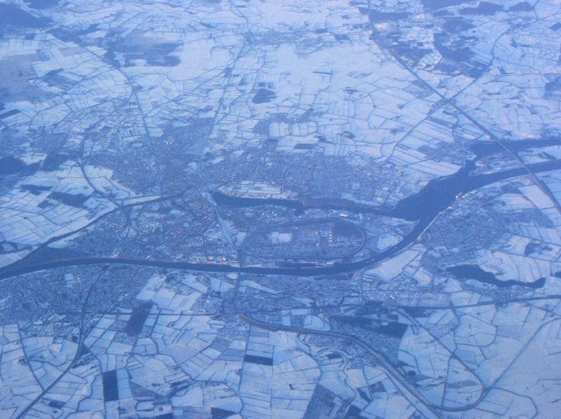
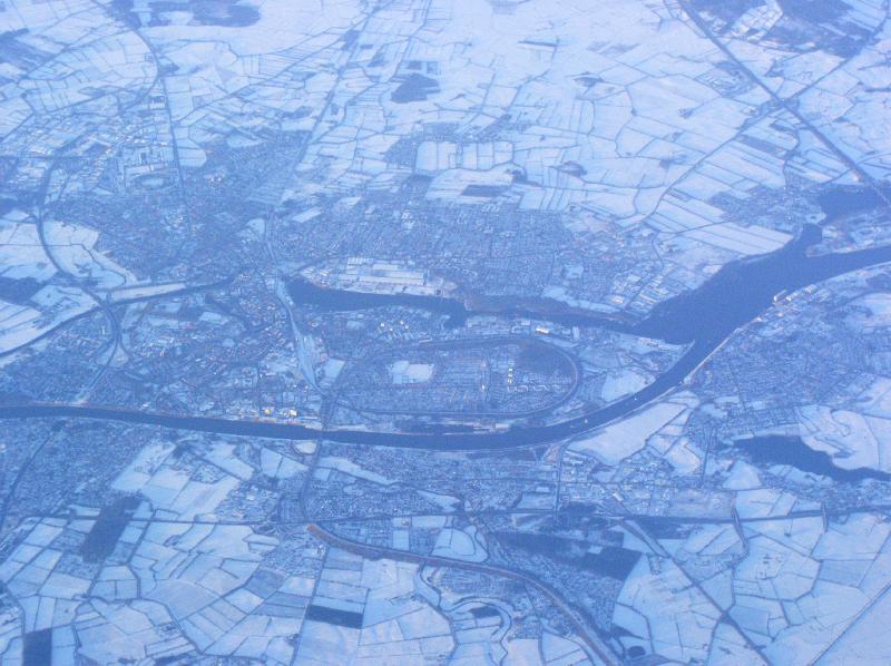
アイセル川の河口付近のカンペンの街と、東フレヴォラント干拓地、オーファーアイセル州・フレヴォラント州 Kampen city beside Ijsel river, and Oostelijk Flevoland polder (right), Overijssel and Flevoland |
 |
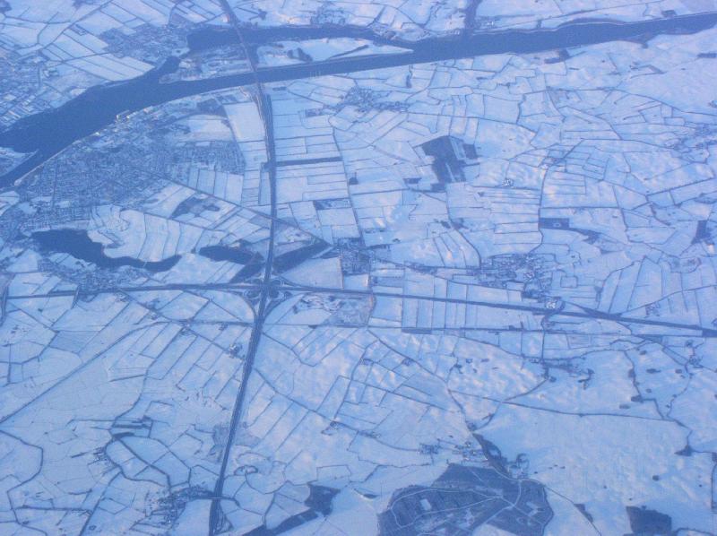
ドロンテン、東フレヴォラント干拓地、フレヴォラント州 Dronten, Oostelijk Flevoland polder, Flevoland |
 |
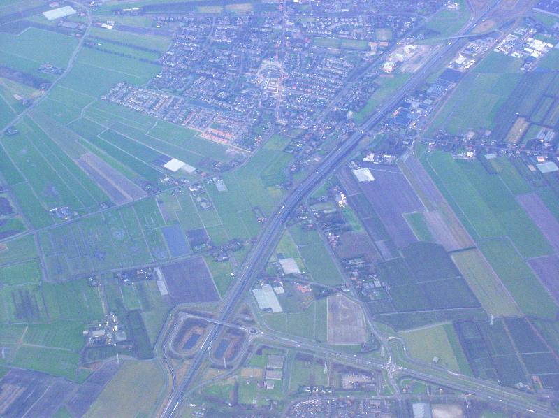
クロメニー、ザーンスタッド、北ホラント州 Krommenie town and Provincialweg (N203), Zaanstad, Noord-Holland |
 |
Bus en Dam, Zaanstad, Noord-Holland |
 |
クロメニー、ザーンスタッド、北ホラント州 Krommenie town and Provincialweg (N203), Zaanstad, Noord-Holland |
 |
アッセンデルフト、ザーンスタッド、北ホラント州 Assendelft, Zaanstad, Noord-Holland |
 |
アッセンデルフト、ザーンスタッド、北ホラント州 Assendelft, Zaanstad, Noord-Holland |
 |
ザーンスタッド上空より、アムステルダム方向。北海運河 Zaanstad to Amsterdam, and Nordseekanal |
 |
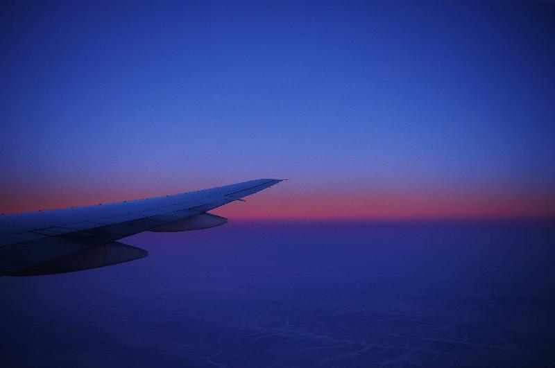
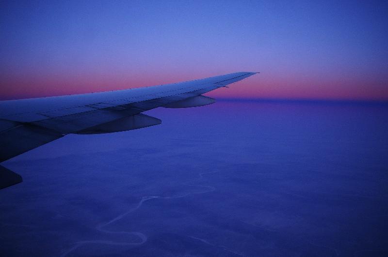
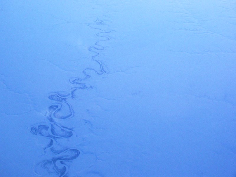
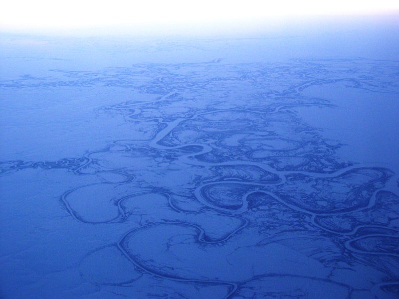
オランダ上空 Netherlands |
 |
オランダ上空 Netherlands |
|
ドイツ Germany |
|||
 |
Wybelsum のエムス川沿いに並ぶ風車,、ニーダーザクセン州 matrix of wind turbins along Ems river, at Wybelsum, west of Emden, Niedersachsen |
||
 |
エムデン、ニーダーザクセン州 Emden, Niedersachsen |
 |
エムデン郊外のヒンテ、ニーダーザクセン州 Hinte, north of Emden, Niedersachsen |
 |
エムデン付近から、エムス川の河口方向、ニーダーザクセン州 from Emden and Bedekaspel lake to mouth of Ems river, Niedersachsen |
 |
エムデン郊外のロッペルサム、ニーダーザクセン州 Loppersum, north of Emden, Niedersachsen |
 |
モーァドルフ付近、ニーダーザクセン州 Moordorf, west of Aurich, Niedersachsen |
 |
Eversmeer, north of Aurich, Niedersachsen |
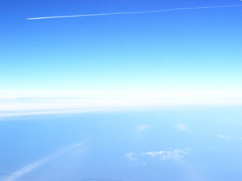 |
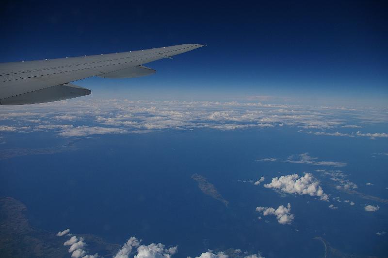
東フリージア諸島上空を通過する航空機 airplane passing over Ostfriesische Inseln |
 |
Langefeld, north east of Aurich, Niedersachsen |
 |
アルトフンニックスズィール、ニーダーザクセン州 Altfunnixsiel, north of Wittmund, Niedersachsen |
 |
東フリージア諸島、ニーダーザクセン州 Ostfriesische Inseln, Niedersachsen |
 |
シュピーカーオーク島、東フリージア諸島、ニーダーザクセン州 Spiekeroog island, Ostfriesische Inseln, Niedersachsen |
 |
シュピーカーオーク島、東フリージア諸島、ニーダーザクセン州 Spiekeroog island, Ostfriesische Inseln, Niedersachsen |
 |
シュピーカーオーク島、東フリージア諸島、ニーダーザクセン州 Spiekeroog island, Ostfriesische Inseln, Niedersachsen |
||
 |
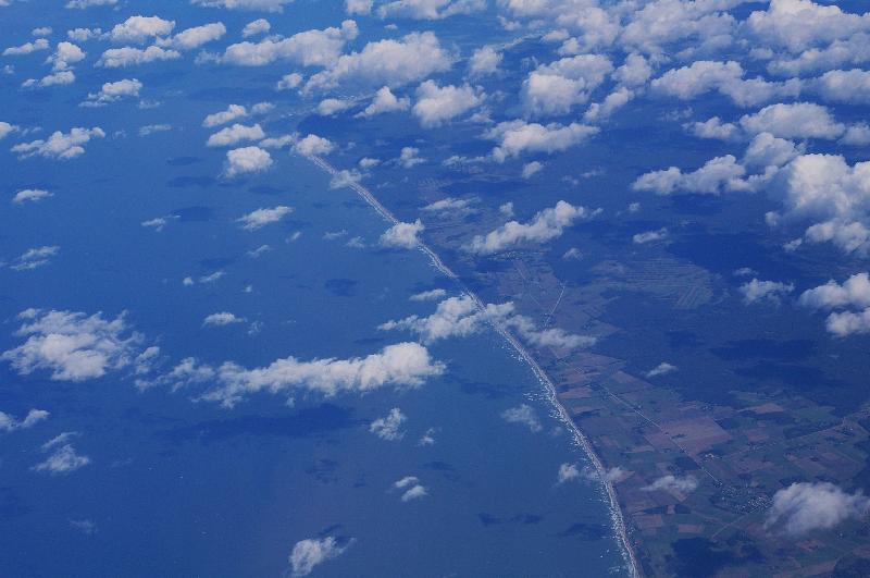
ニンドルフ付近、シュレースヴィヒ=ホルシュタイン州 Nindorf, east of Meldorf, Schleswig-Holstein |
 |
ハイデからアイダー川の河口方向、シュレースヴィヒ=ホルシュタイン州 Heide and mouth of Eider river, Schleswig-Holstein |
 |
アルベルスドルフ、シュレースヴィヒ=ホルシュタイン州 Albersdorf, Schleswig-Holstein |
 |
レンズブルクと東西運河(キール運河)、シュレースヴィヒ=ホルシュタイン州 Rendsburg and Nord-Ostsee-Kanal (Kiel Kanal), Schleswig-Holstein |
 |
レンズブルクと東西運河(キール運河)、シュレースヴィヒ=ホルシュタイン州 Rendsburg and Nord-Ostsee-Kanal (Kiel Kanal), Schleswig-Holstein |
 |
レンズブルク南東のA7/A210のインターチェンジ、シュレースヴィヒ=ホルシュタイン州 A7/A210 Kreuz Rendsburg (interchange), Schleswig-Holstein |
 |
ドイツ上空、詳細な場所不明 Germany |
 |
ドイツ上空 Germany |
 |
ドイツ上空、詳細な場所不明 Germany |
 |
ドイツ上空、詳細な場所不明 Germany |
 |
ドイツ上空、詳細な場所不明 Germany |
||
|
デンマーク Denmark |
|||
 |
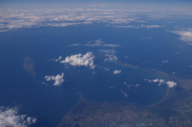
キール湾上空から見た ランゲランド島とフュン島 Langeland island and Fyn island, from over the Kiel bay |
 |
ストーストレム橋 (ファルスター島とシュラン島を結ぶ3.2kmの道路・鉄道橋 Storstrøm Bridge (between Falster island Zealand), 3.2km road and railway bridge |
 |
シェラン島南端の、プレスト・フィヨルド Præstø Fjord, south part of Zealand |
 |
シェラン島南端の、プレスト・フィヨルド Præstø Fjord, south part of Zealand |
 |
シェラン島北西部、オドセレド半島とサイェレ島 Odsherred peninsula and Sejerø island, north west of Zealand |
 |
シェラン島北西部、オドセレド半島 Odsherred peninsula, north west of Zealand |
 |
シェラン島北西部、オドセレド半島とサイェレ島 Odsherred peninsula and Sejerø island, north west of Zealand |
 |
シェラン島北西部、サイェレ島 Sejerø island, north west of Zealand |
 |
シェラン島西部、カルンポー Kalundborg, west of Zealand |
||
|
エストニア、ラトビア、リトアニア Estonia, Ratvia, Lithuania |
|||
 |
日没直後の北の空 north sky, just after the sunset |
||
 |
バルト海に面した海岸。リエパヤ北方 Baltic sea coast, near Akmenrags, north of Liepaja |
 |
バルト海に面した海岸。リエパヤ北方 Baltic sea coast, near Akmenrags, north of Liepaja |
|
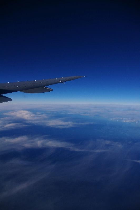
北欧 Scandinavia |
|||
 |
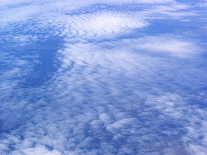
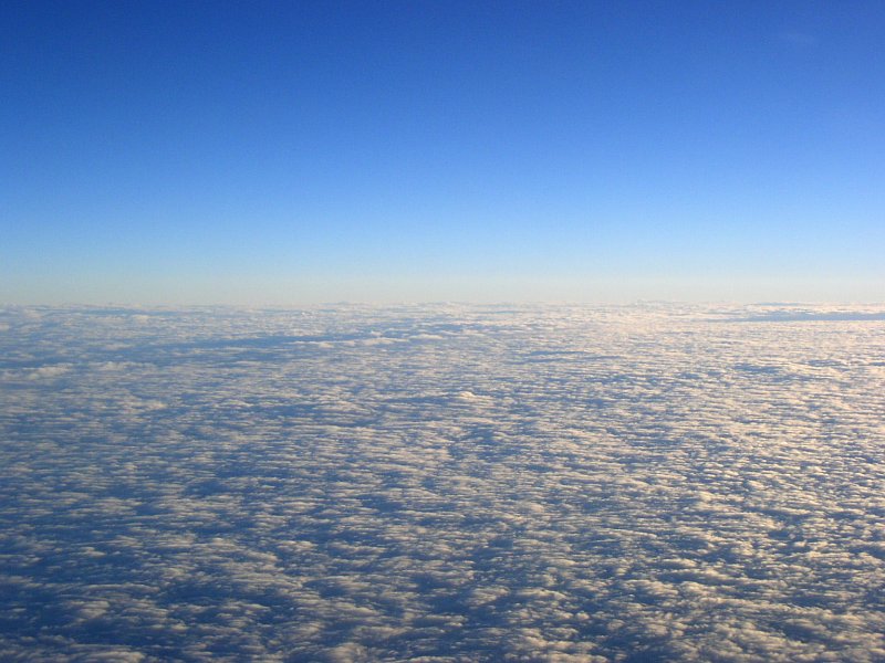
バルト海上空 over the Baltic Sea |
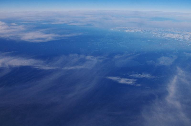 |
バルト海上空 over the Baltic Sea |
 |
バルト海上空 over the Baltic Sea |
 |
|
 |
 |
||
 |
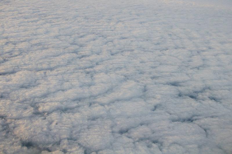
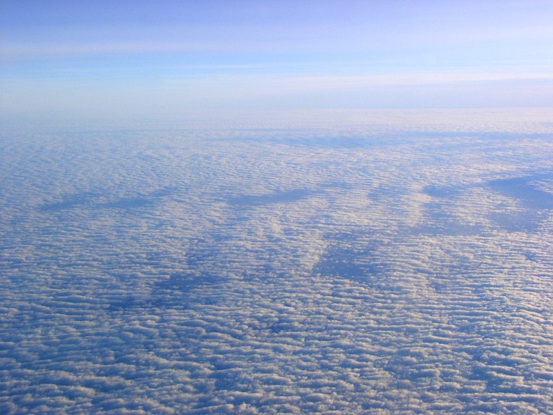
夕焼けに照らされた雲 sun set sky |
 |
夕焼けに照らされた雲 sun set sky |
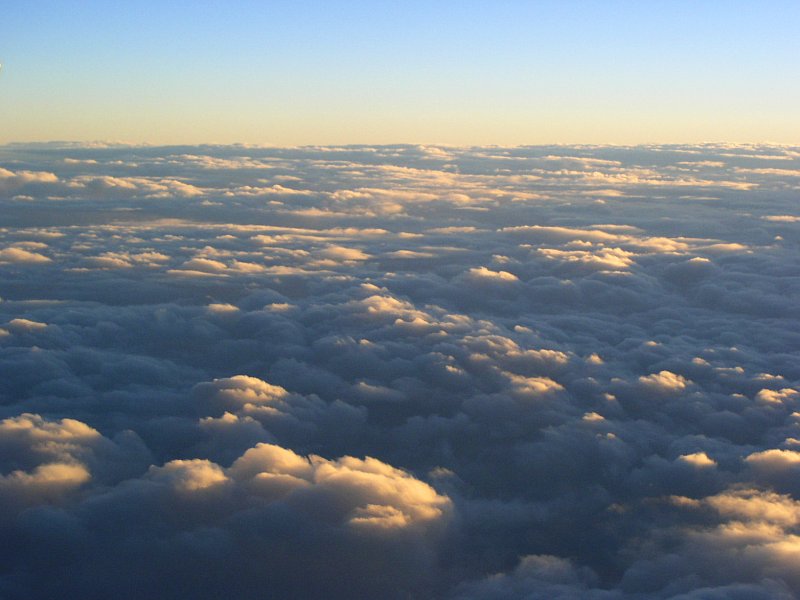 |
夕焼けに照らされた雲 sun set sky |
 |
|
 |
 |
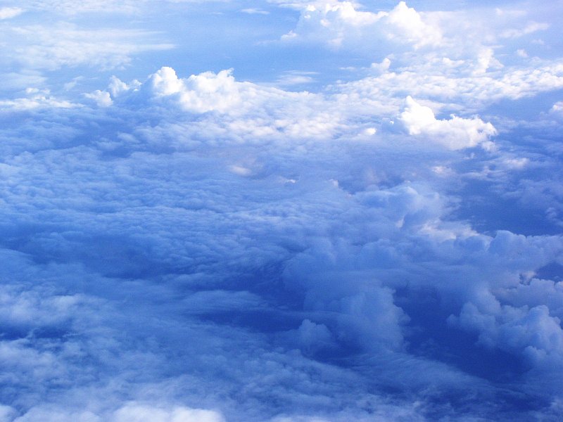
発達した夏の低気圧の中心の雲 center of Low pressure area |
|
|
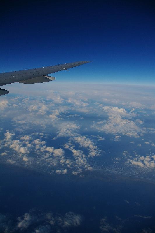
イギリス United Kingdom |
|||
 |
ハロルド・ヒル付近 Harold Hill |
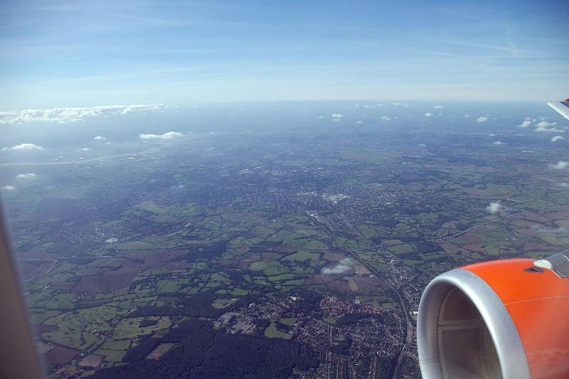 |
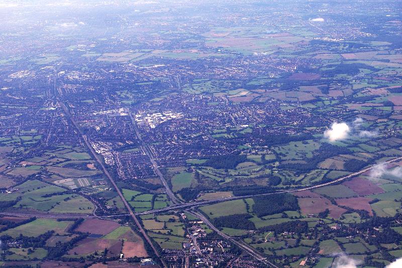
ワーリー付近から見たロンドン方向 Warley, and direction toward London |
 |
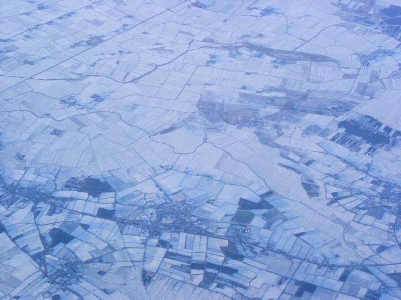
ロンドンの東に広がる農村 farm yard, east of London |
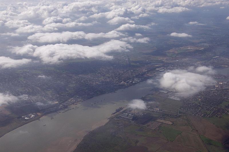 |
グレーヴセントとテームズ川 (河口付近) Gravesend and Thames river |
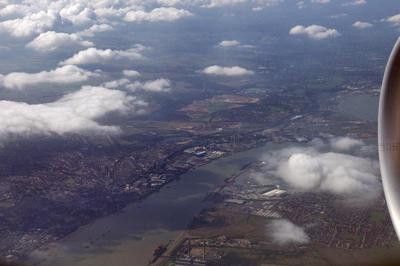 |
グレーヴセントとテームズ川 (河口付近) Gravesend and Thames river |
||
|
スロベニア Slovenia |
|||
 |
ブレッド湖 Lake Bled |
||
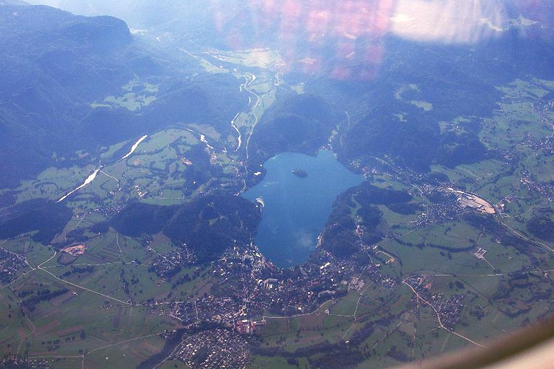 |
ブレッド湖 Lake Bled |
 |
リュブリャーナより18km北東、Krizevska vas Krizevska vas, 18km north east of Ljubljana |
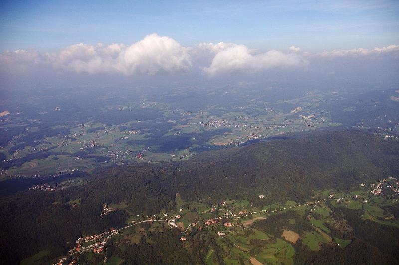 |
リュブリャーナより18km北東、Krizevska vas Krizevska vas, 18km north east of Ljubljana |
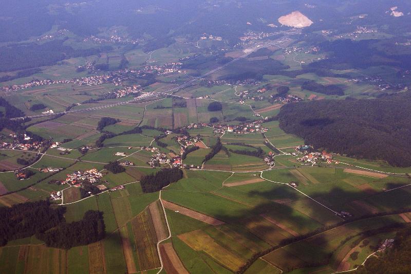 |
A1 road near Lukovica, 19km north east of Ljubljana |
|
スイス Switzerland |
|||
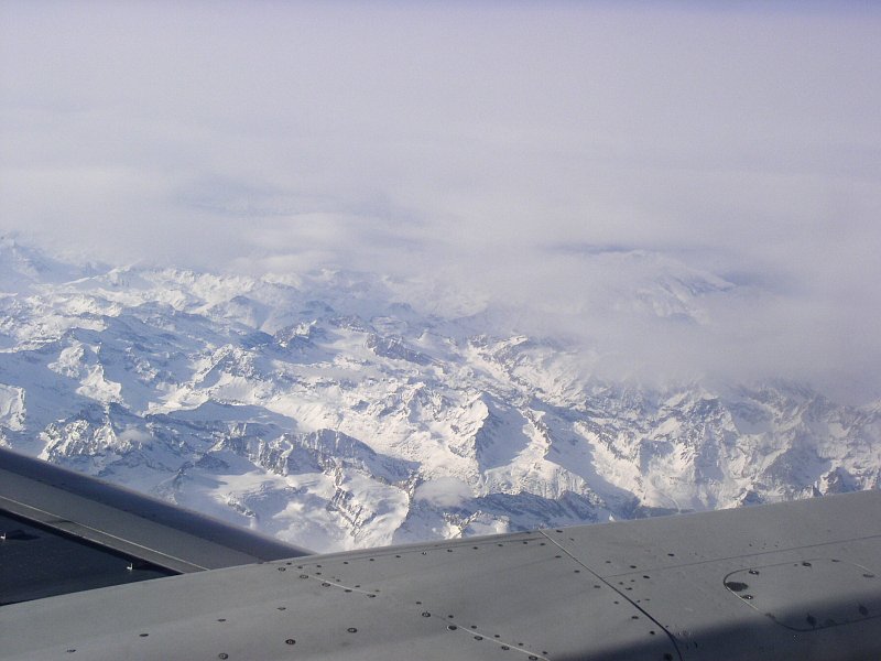 |
スイス、アルプス Alps, Switzerland |
||
|
ロシア 極東-沿海州・ハバロフスク州 RUSSIA, Far East - Primorskiy and Khabarovskiy |
|||
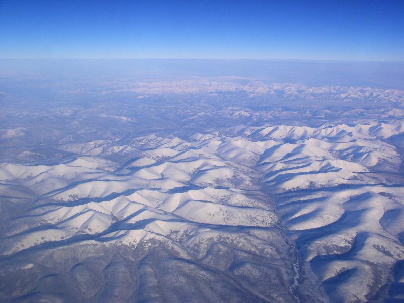 |
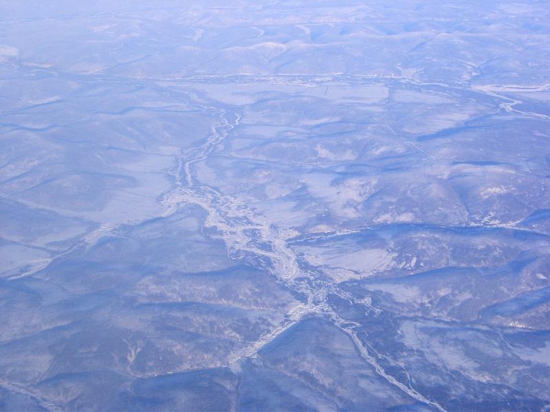
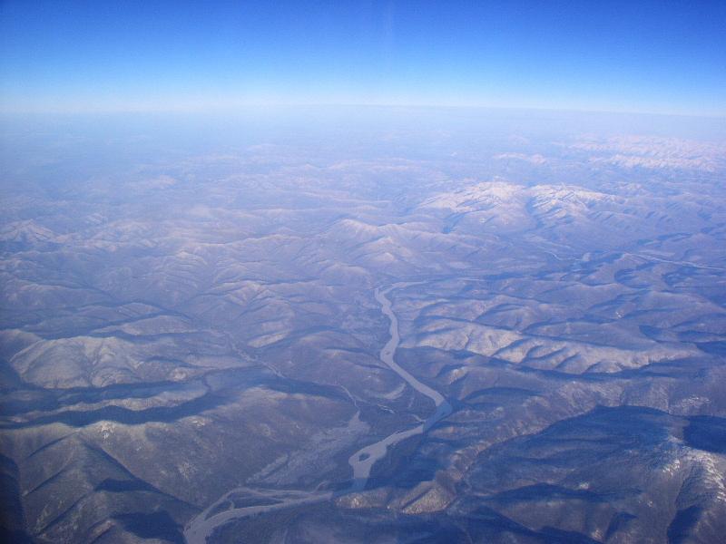
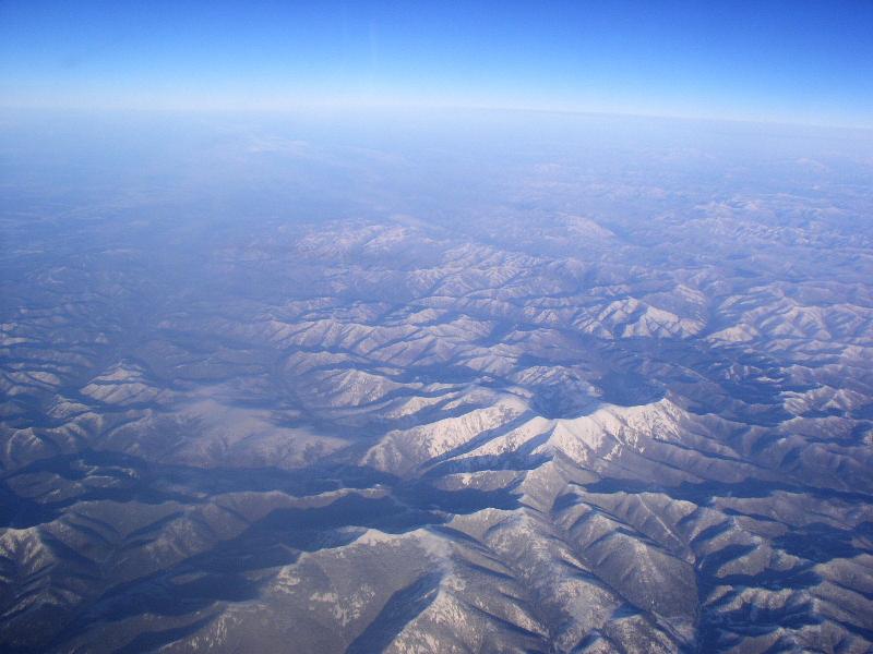
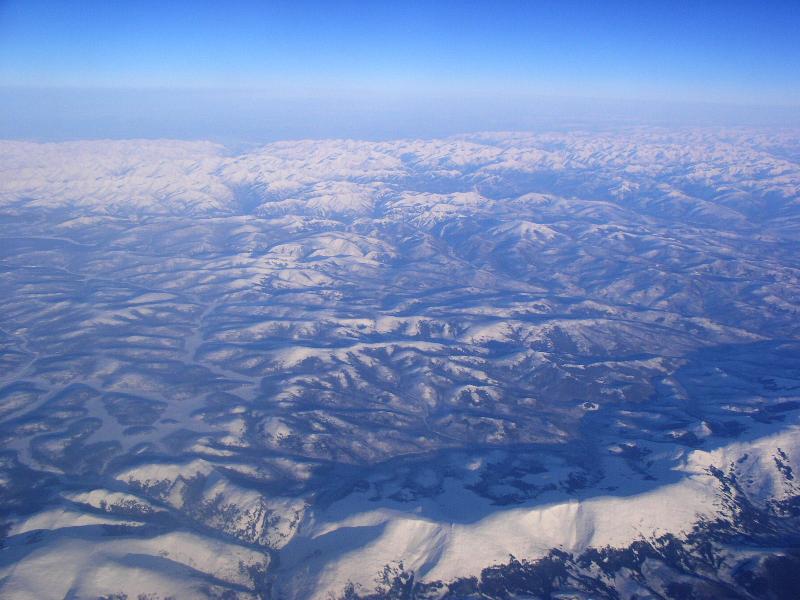
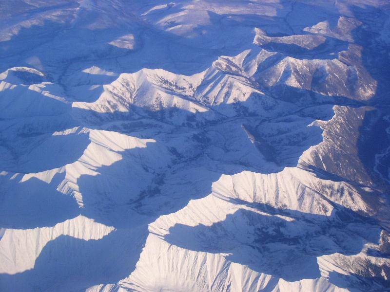
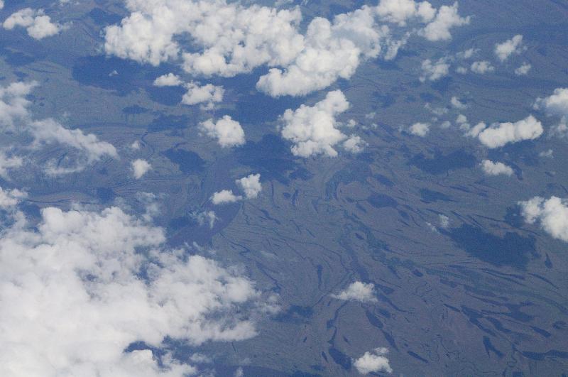
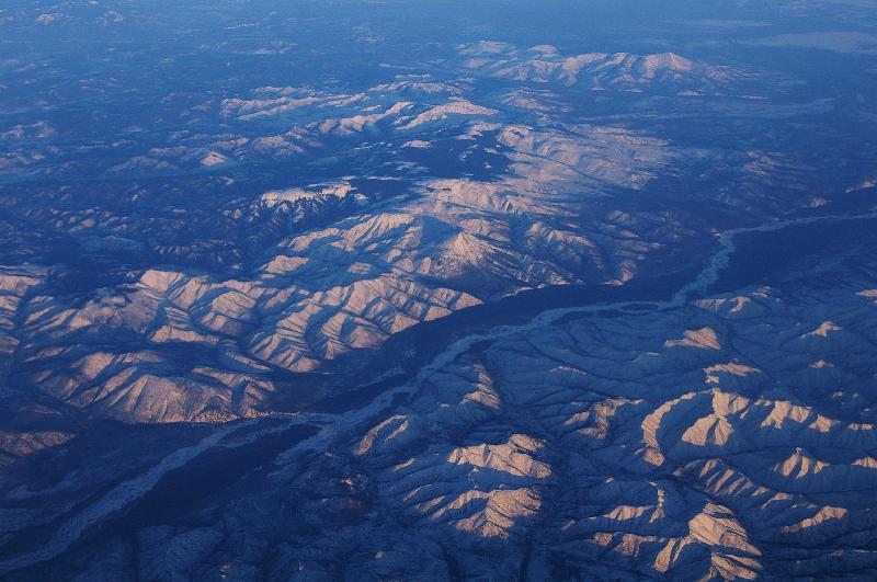
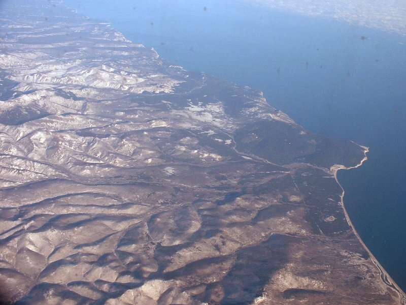
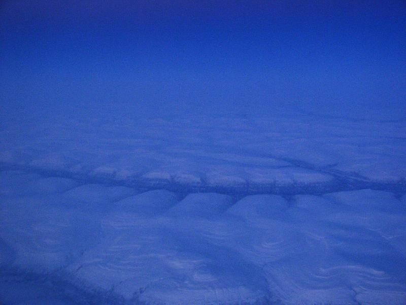
シホテ・アリン山脈 Sikhote-Alin mountains |
 |
|
 |
シホテ・アリン山脈 Sikhote-Alin mountains |
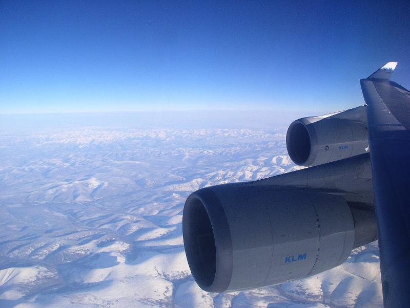 |
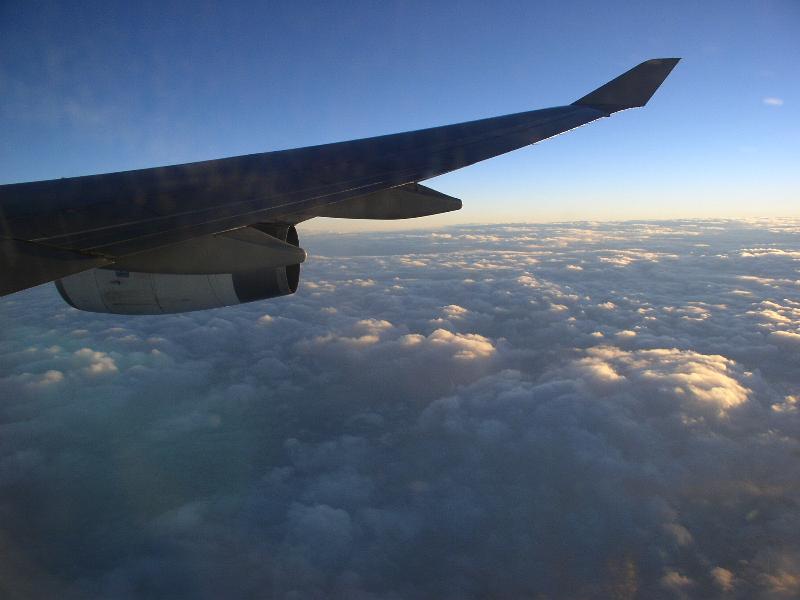
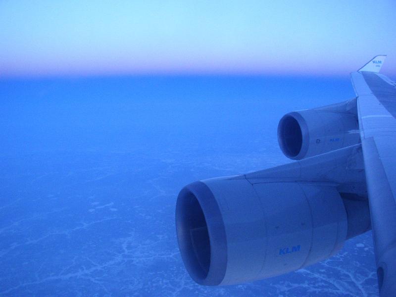
シホテ・アリン山脈上空 Sikhote-Alin mountains KLM, B-747-406M, GE CF6 Engine |
 |
 |
||
 |
 |
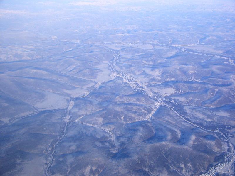
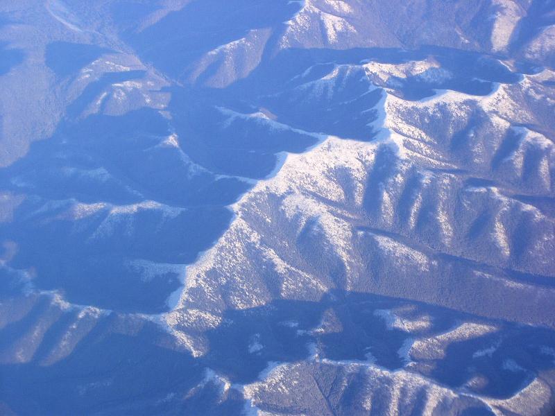
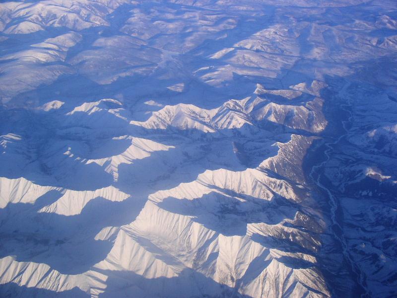
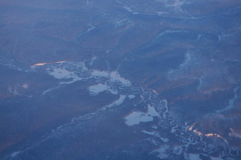
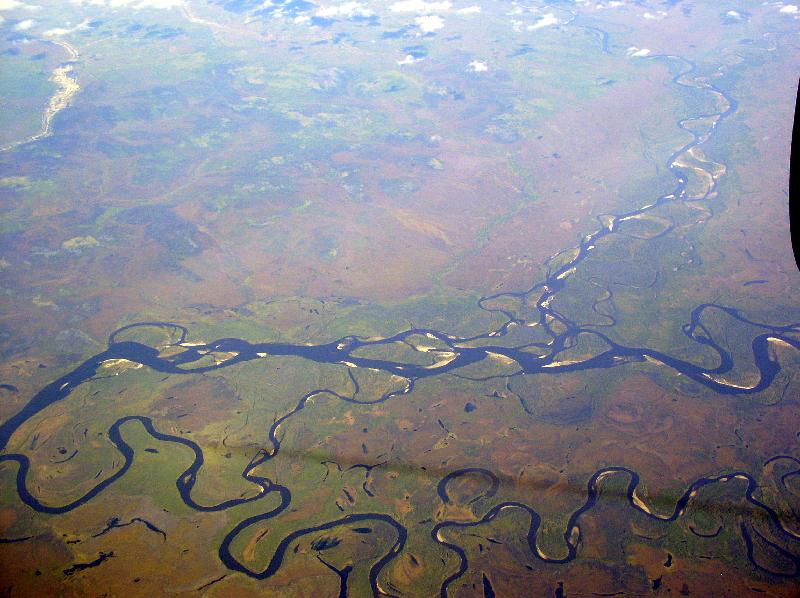
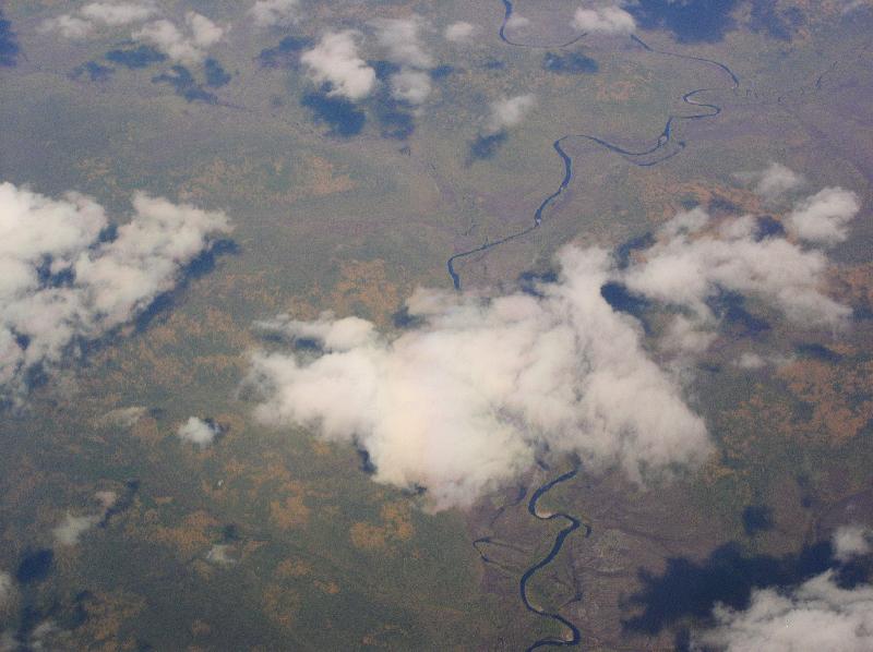
ホール川、シホテ・アリン山脈 Khor river, Sikhote-Alin mountains |
|
 |
ホール川、シホテ・アリン山脈 Khor river, Sikhote-Alin mountains |
 |
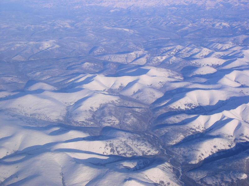
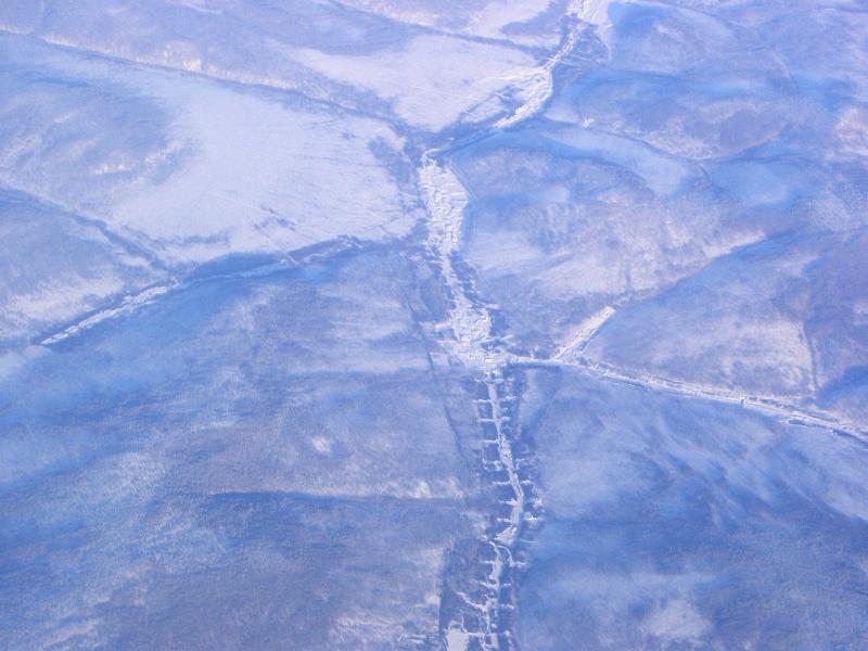
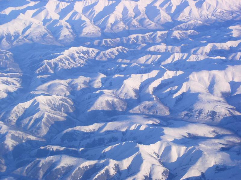
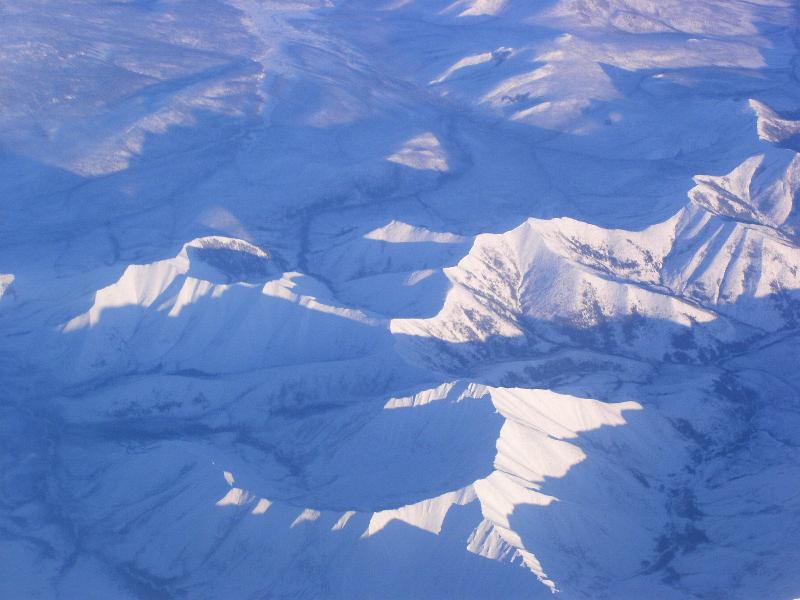
シホテ・アリン山脈 Sikhote-Alin mountains |
 |
シホテ・アリン山脈 Sikhote-Alin mountains |
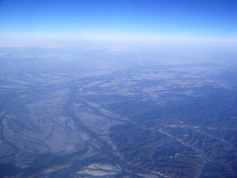 |
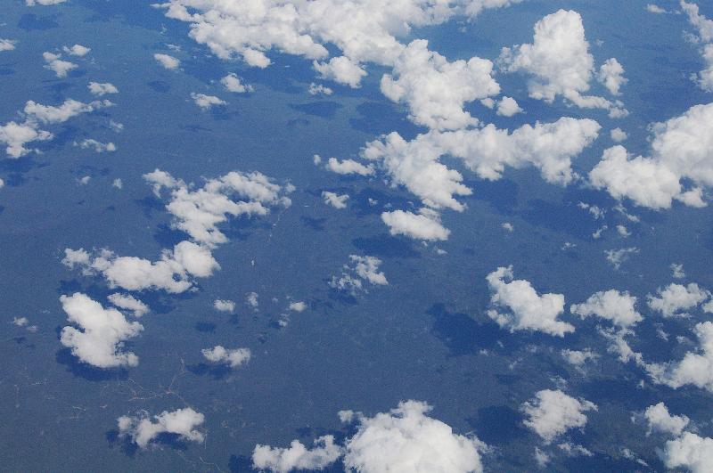
ハバロフスク南東側の、アムール低地 Amur lowland, south east of Khabarovsk |
 |
 |
||
 |
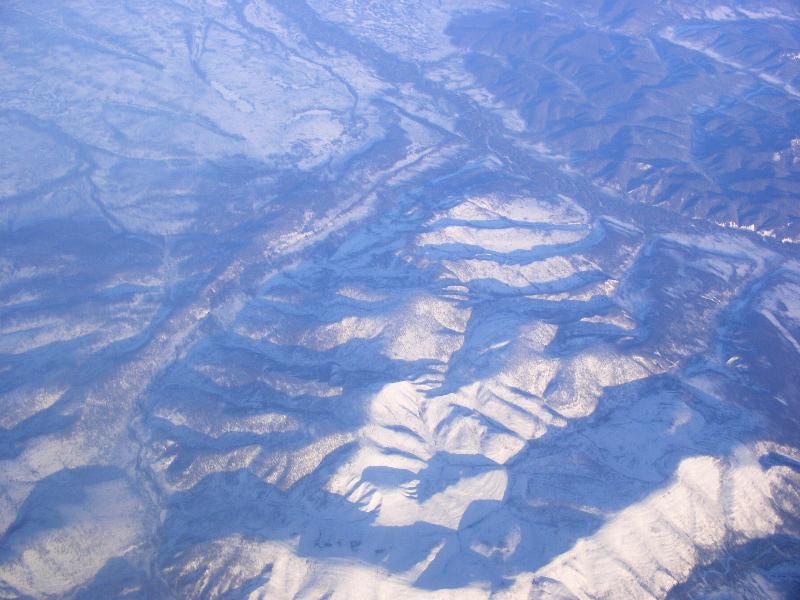
ブレインスキー山脈、バジャリスキー山脈 Bureinskiy mountains and Badzhalskiy mountains |
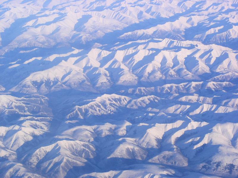 |
ブレインスキー山脈、バジャリスキー山脈 Bureinskiy mountains and Badzhalskiy mountains |
 |
ブレインスキー山脈、バジャリスキー山脈 Bureinskiy mountains and Badzhalskiy mountains |
 |
ブレインスキー山脈、バジャリスキー山脈 Bureinskiy mountains and Badzhalskiy mountains |
 |
ブレインスキー山脈、バジャリスキー山脈 Bureinskiy mountains and Badzhalskiy mountains KLM, B-747-406M, GE CF6 Engine |
 |
ブレインスキー山脈、バジャリスキー山脈 Bureinskiy mountains and Badzhalskiy mountains |
 |
ブレインスキー山脈、バジャリスキー山脈 Bureinskiy mountains and Badzhalskiy mountains |
 |
ブレインスキー山脈、バジャリスキー山脈 Bureinskiy mountains and Badzhalskiy mountains |
 |
|||
 |
 |
||
 |
シホテ・アリン山脈 Sikhote-Alin mountains |
||
 |
シホテ・アリン山脈 Sikhote-Alin mountains |
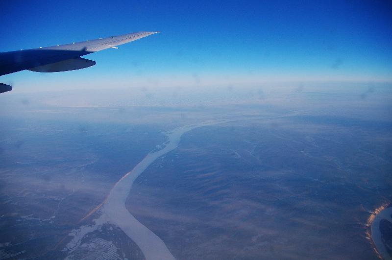 |
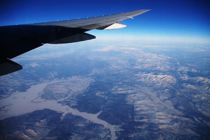
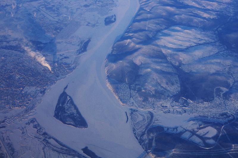
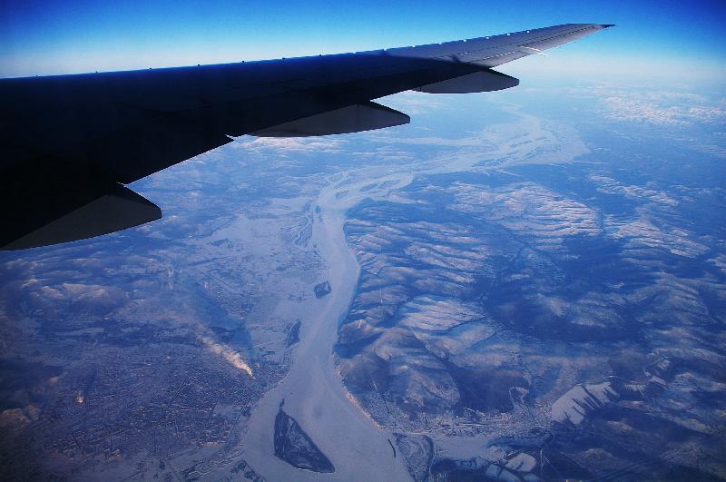
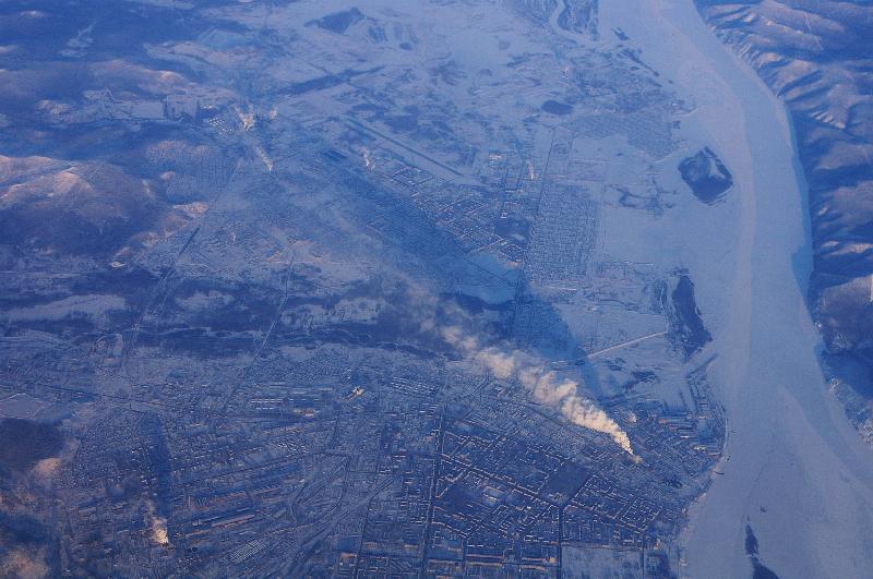
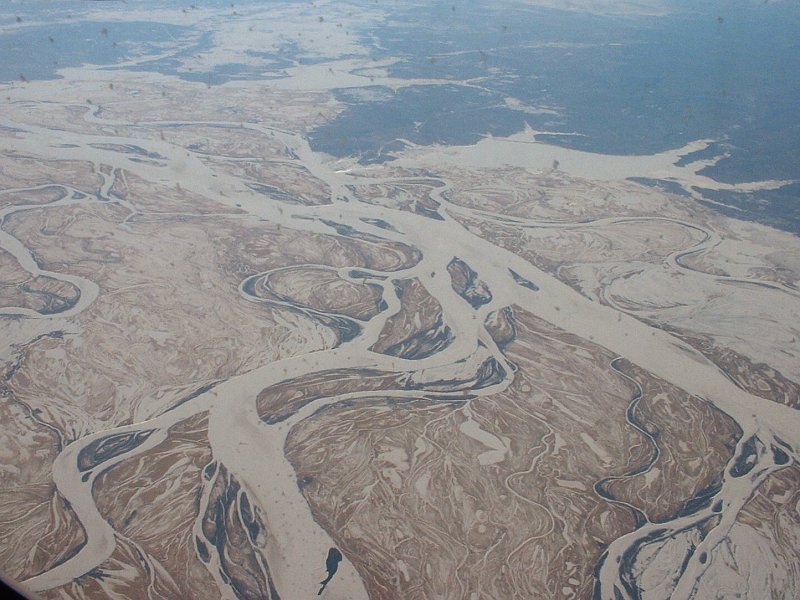
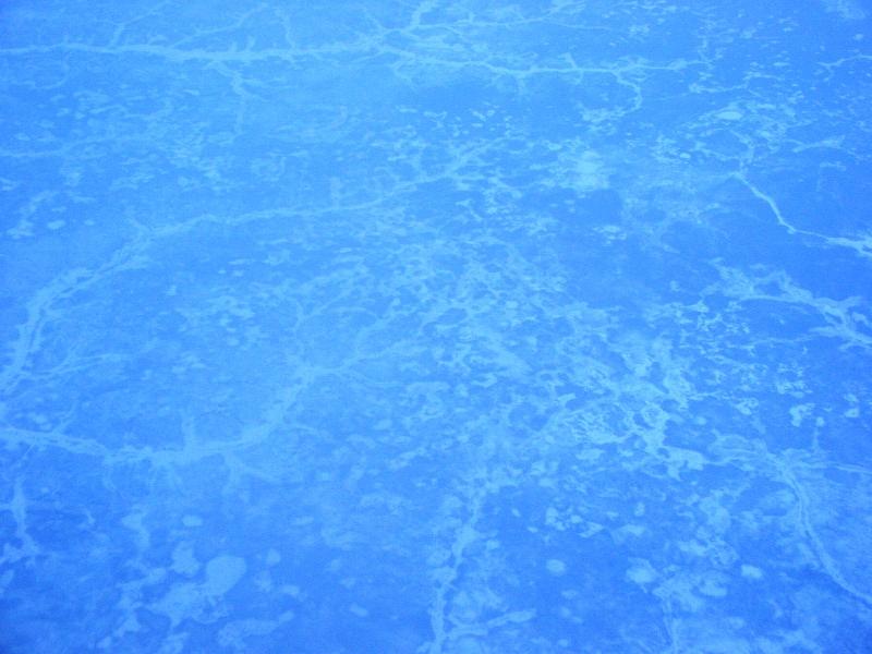
ハバロフスク付近の凍結したアムール川 frozen Amur river, near Khabarovsk |
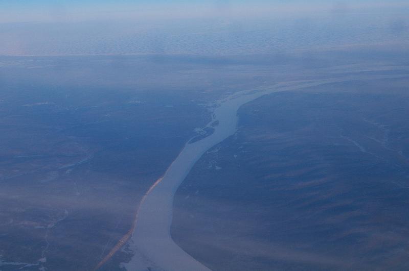 |
ハバロフスク付近の凍結したアムール川 frozen Amur river, near Khabarovsk |
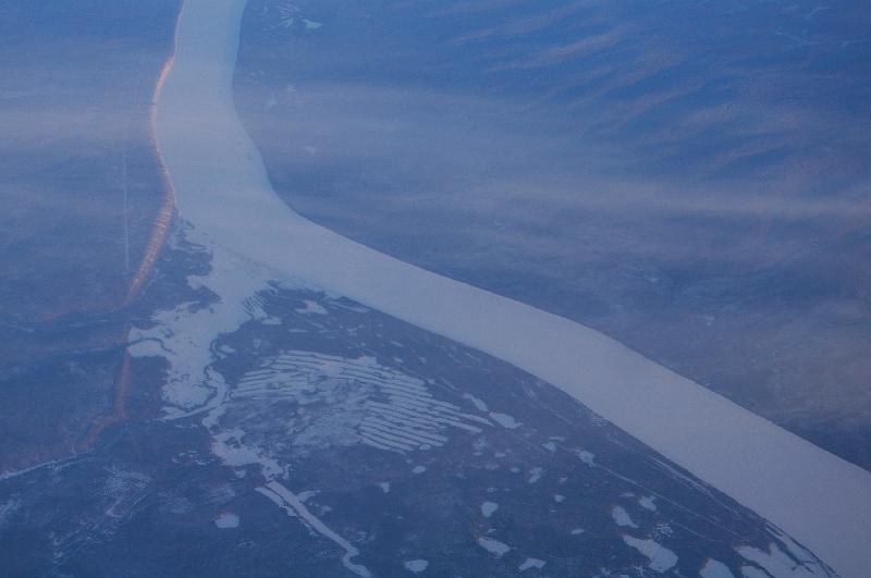 |
ハバロフスク付近の凍結したアムール川 frozen Amur river, near Khabarovsk |
 |
|||
 |
コムソモリスク・ナ・アムーレの東にある湖付近 lake or part of Amur River, near Orlovskaya Kolonna, east of Komsomolsk-na-Amure |
||
 |
コムソモリスク・ナ・アムーレの東の地域 east of Komsomolsk-na-Amure |
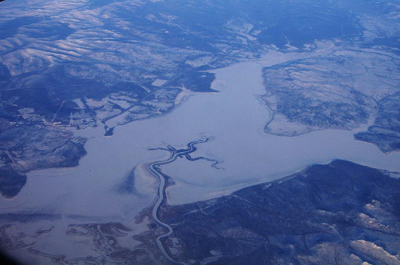 |
コムソモリスク・ナ・アムーレの東にある湖付近 lake or part of Amur River, near Orlovskaya Kolonna, east of Komsomolsk-na-Amure |
 |
コムソモリスク・ナ・アムーレ付近のアムール川 Amur River, near Komsomolsk-na-Amure (Комсомольск-на-Амуре) |
 |
コムソモリスク・ナ・アムーレ Komsomolsk-na-Amure (Комсомольск-на-Амуре) |
 |
コムソモリスク・ナ・アムーレ付近のアムール川 Amur River, near Komsomolsk-na-Amure (Комсомольск-на-Амуре) |
 |
コムソモリスク・ナ・アムーレ Komsomolsk-na-Amure (Комсомольск-на-Амуре) |
 |
|||
 |
アデミ付近、日本海に面した海岸線 coast line at Ademi |
 |
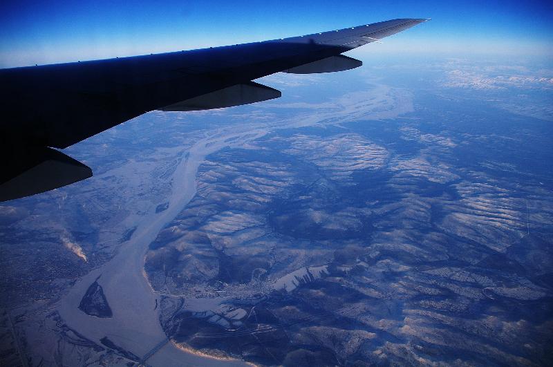
アムールスクから100km上流付近のアムール川 Amur river, near Innokentievka, 100km south of Amursk |
 |
|||
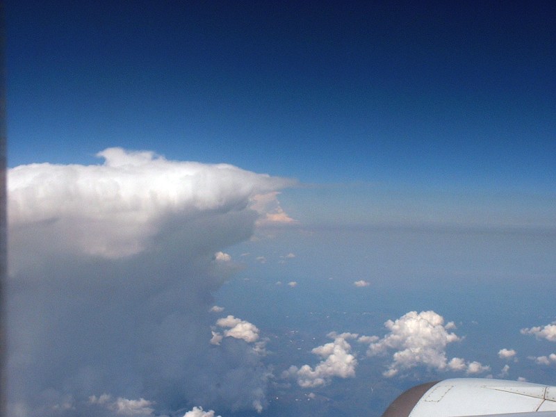 |
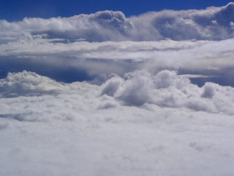
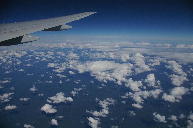
発達した積乱雲 Cumulonimbus cloud |
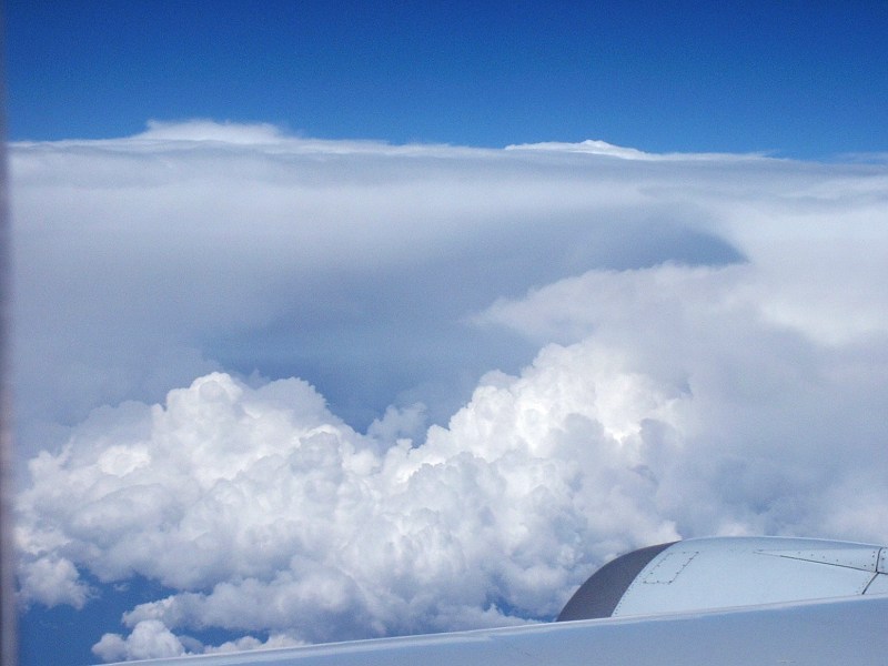 |
発達した積乱雲 Cumulonimbus cloud |
|
ロシア 東シベリア RUSSIA, East Siberia |
|||
 |
 |
||
 |
|||
 |
 |
||
 |
 |
||
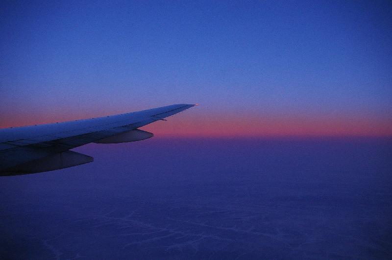 |
シベリア上空、夕焼け dusk, over Siberia |
||
 |
シベリア上空、夕焼け dusk, over Siberia |
 |
シベリア上空、夕焼け dusk, over Siberia |
|
ロシア 西シベリア RUSSIA, West Siberia |
|||
 |
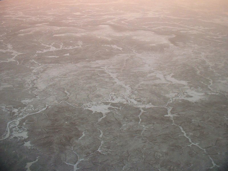
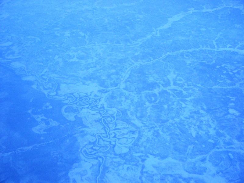
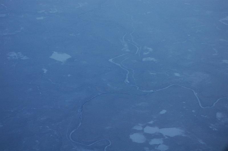
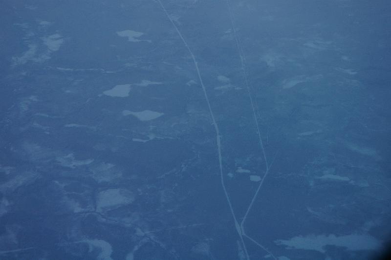
蛇行する凍りついた川 frozen river |
 |
蛇行する凍りついた川 frozen river |
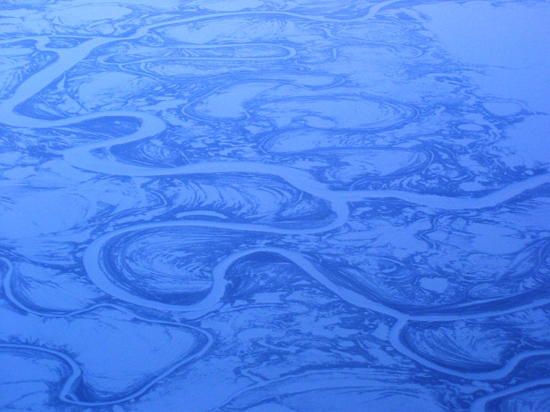 |
蛇行する凍りついた川 frozen river |
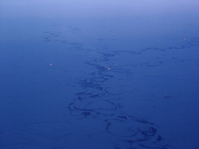 |
油田のフレアスタックの炎 flare stack of oil field |
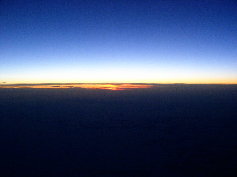 |
日の出 sunrize |
 |
日の出 sunrize |
 |
ノヴォシビリスク NovoSibirsk |
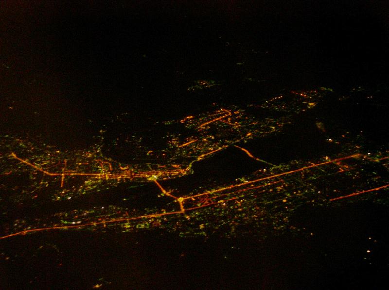 |
ノヴォシビリスク NovoSibirsk |
 |
西シベリア上空、オーロラ West Siberia, Northern Lights |
||
|
ロシア ヨーロッパ・ロシア(ウラル山脈より西) RUSSIA, European Russia |
|||
 |
 |
||
 |
 |
||
 |
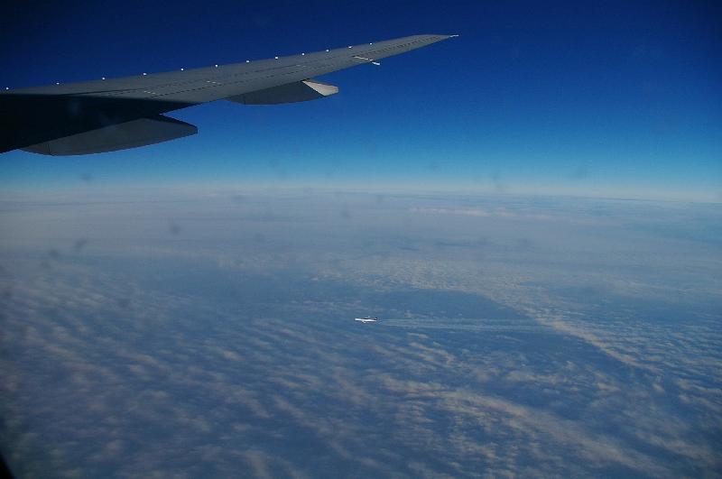
ルフトハンザのA340、サンクト・ペテルブルク付近 Lufthansa A340-600, near Sankt Peterburg |
||
 |
サンクト・ペテルブルク付近 near Sankt Peterburg |
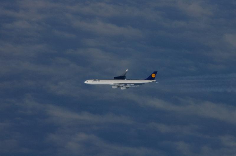 |
ルフトハンザのA340、サンクト・ペテルブルク付近 Lufthansa A340-600, near Sankt Peterburg |
 |
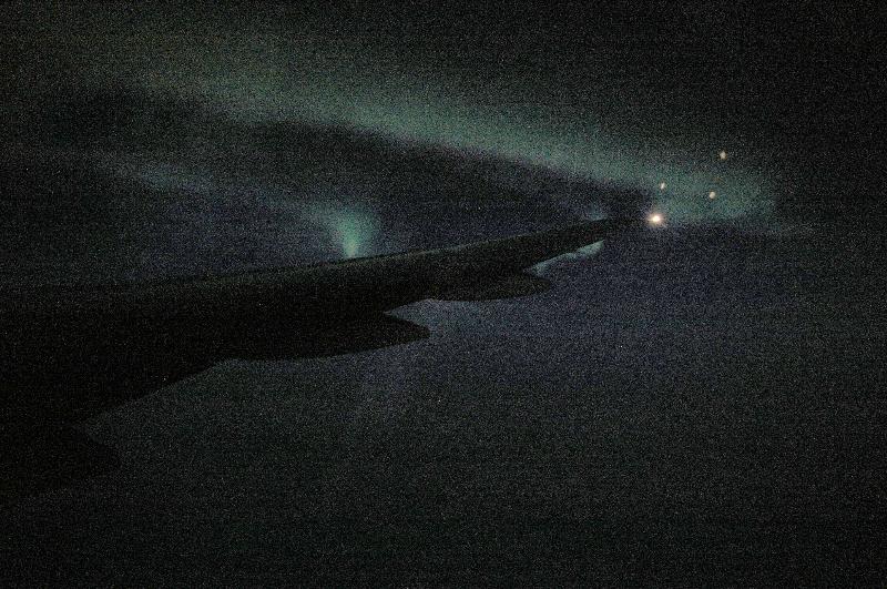
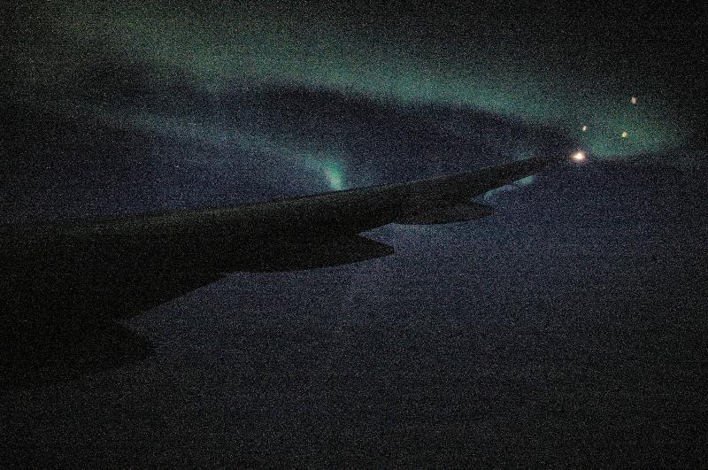
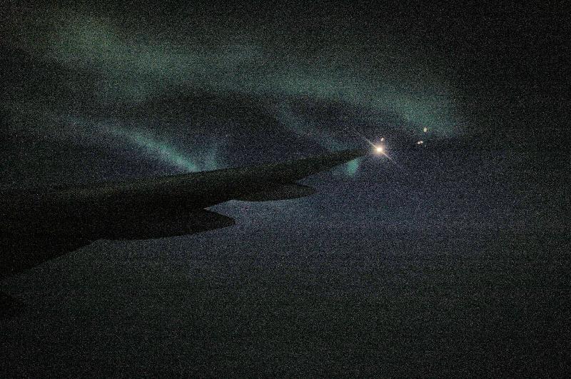
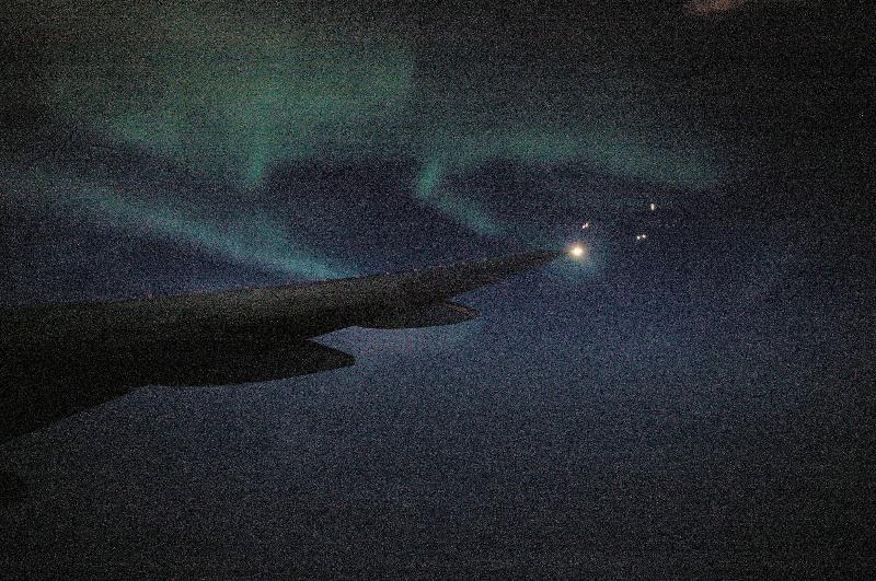
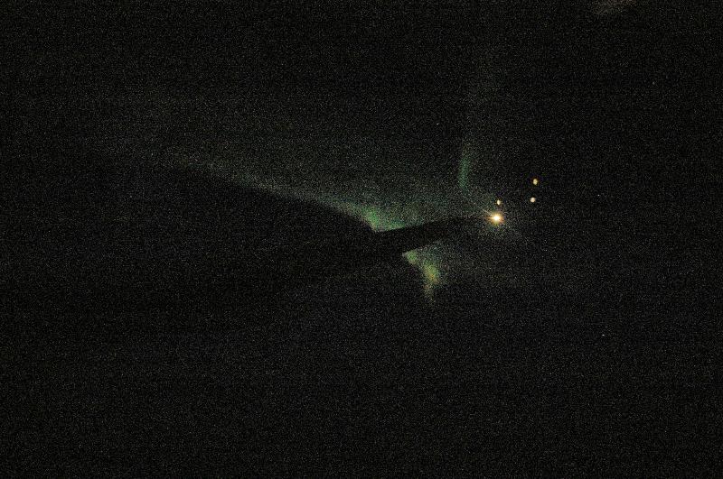
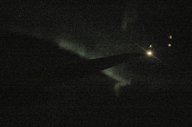
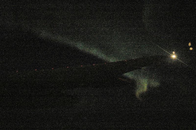
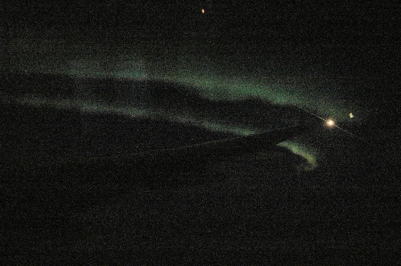
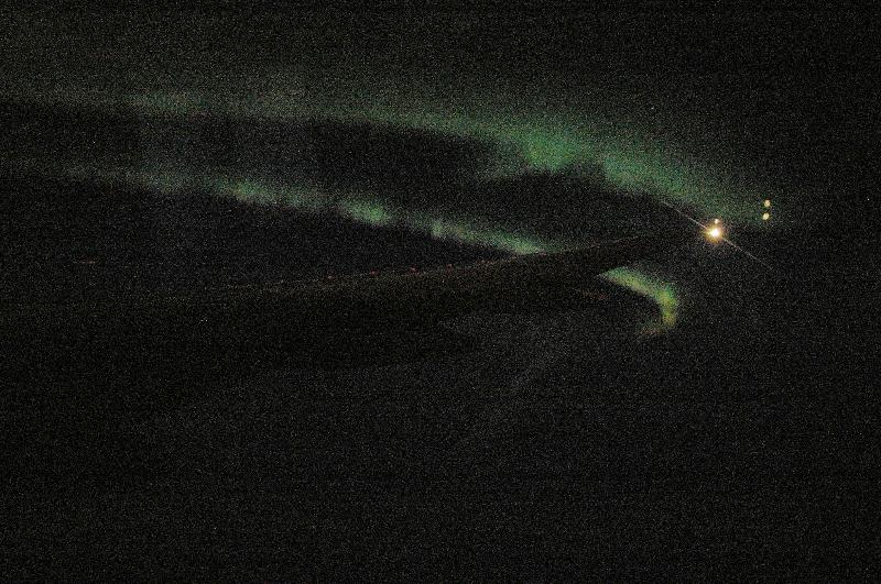
北極海上空(北緯75°東経47°高度11000m付近)のオーロラ northern lights, at latitude 75deg, longitude 47deg, 11000m high over the Arctic Sea |
 |
北極海上空(北緯75°東経47°高度11000m付近)のオーロラ northern lights, at latitude 75deg, longitude 47deg, 11000m high over the Arctic Sea |
 |
北極海上空(北緯75°東経47°高度11000m付近)のオーロラ northern lights, at latitude 75deg, longitude 47deg, 11000m high over the Arctic Sea |
 |
北極海上空(北緯75°東経47°高度11000m付近)のオーロラ northern lights, at latitude 75deg, longitude 47deg, 11000m high over the Arctic Sea |
 |
北極海上空(北緯75°東経47°高度11000m付近)のオーロラ northern lights, at latitude 75deg, longitude 47deg, 11000m high over the Arctic Sea |
 |
北極海上空(北緯75°東経47°高度11000m付近)のオーロラ northern lights, at latitude 75deg, longitude 47deg, 11000m high over the Arctic Sea |
 |
北極海上空(北緯75°東経47°高度11000m付近)のオーロラ northern lights, at latitude 75deg, longitude 47deg, 11000m high over the Arctic Sea |
 |
北極海上空(北緯75°東経47°高度11000m付近)のオーロラ northern lights, at latitude 75deg, longitude 47deg, 11000m high over the Arctic Sea |
 |
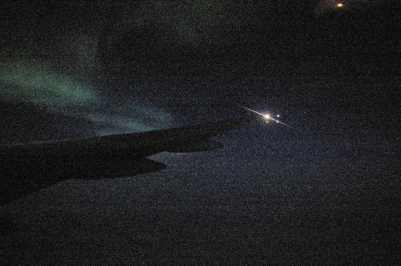
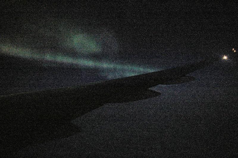
北極海上空のオーロラ northern lights, at over the Arctic Sea |
 |
北極海上空のオーロラ northern lights, at over the Arctic Sea |
 |
北極海上空のオーロラ northern lights, at over the Arctic Sea |
 |
北極海上空のオーロラ northern lights, at over the Arctic Sea |
 |
北極海上空のオーロラ northern lights, at over the Arctic Sea |
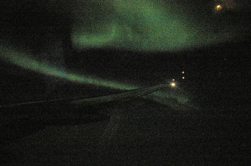 |
北極海上空のオーロラ northern lights, at over the Arctic Sea |